Calcasieu Ship Channel (CSC) Salinity Control Measures Project | Reducing the Rate of Wetland Loss in Louisiana
Reducing the rate of wetland loss in the 630,000-acre Calcasieu-Sabine Basin
Coastal Resilient Infrastructure
The Coastal Protection and Restoration Authority (CPRA) selected Tetra Tech to complete a feasibility study and preliminary engineering and design for the Calcasieu Ship Channel (CSC) Salinity Control Measures Project to develop and evaluate alternatives to reduce wetland loss rates. Coastal Louisiana has undergone substantial land loss due to sea level rise, subsidence, modification of freshwater and sediment delivery to wetlands, saltwater intrusion, and wind-induced erosion. Modifications to CSC’s hydraulics have caused an increase in salinity, resulting in loss of vegetation and wetlands. This complex restoration project aims to reduce salinity intrusion from the navigable ship channel to create and retain the most land, while balancing the needs of the navigation industry, fisheries, and tourism to meet the region’s long-term sustainability and economic needs.
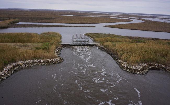
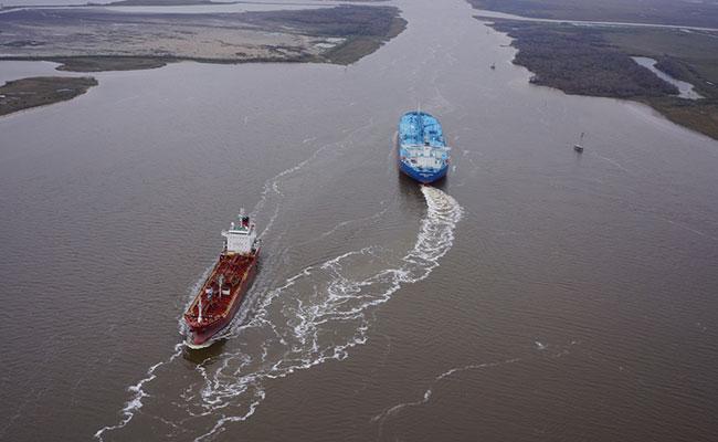
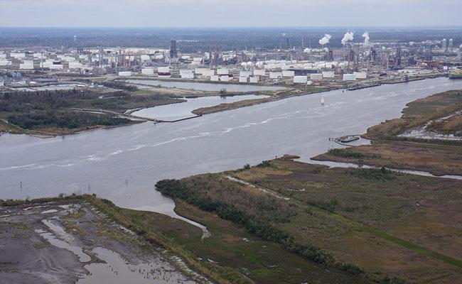
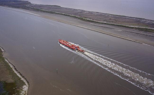
This project is located in the Chenier Plain, which includes Calcasieu Lake, West Cove, CSC/Calcasieu River, Sabine-Neches Waterway, and the Gulf Intracoastal Waterway. The project includes design of 14 salinity barriers to deter the introduction of high-salinity water from the CSC to adjacent water bodies to reduce the rate of wetland loss in the 630,000-acre Calcasieu-Sabine Basin. The CSC is more than 40 times larger than when it was first dredged for navigation in the late 1800s. Since the project area is heavily trafficked by both large ships navigating the CSC and small crafts used for recreational purposes, including fishing and ecotourism, one of the project’s challenges is to accommodate a wide range of vessels.
Tetra Tech developed and evaluated 28 technically feasible alternatives for salinity control to address four main concepts:
- CSC entrance control through construction of a sector gate
- Pass-through locks along the CSC separated by five miles or more
- Channelization of the CSC to isolate and keep saline water within the shipping channel
- Perimeter controls including numerous water control structures and berms along the perimeter of Calcasieu Lake and West Cove
Tetra Tech coordinated with a sub-consultant, CPRA, and The Water Institute of the Gulf to conduct four rounds of integrated modeling to evaluate salinity control, wetland vegetation changes, land changes, navigation impacts, storm surge impacts, and channel sedimentation rates. The team used CPRA’s Eco-Hydrology model, MIKE FLOOD, ADCIRC, and DELFT3D for this analysis. Based on the models, Tetra Tech prepared preliminary engineering designs for sector gates, pass through locks, channelization berms, and sills or water control structures to be used to generate detailed estimates of probable construction cost. In addition to the technical work, Tetra Tech also assisted CPRA by providing important outreach to maintain broad stakeholder support for the project.
Based on the feasibility study Tetra Tech completed, CPRA retained Tetra Tech to move forward with the geotechnical field exploration, refined hydraulic modeling, and preliminary engineering and design of a tentatively selected plan (TSP) that includes 14 salinity barriers such as channelization berms, major water control structures on East Pass and West Pass, and numerous sill structures on both sides of the ship channel. Tetra Tech also has supported CPRA on the preliminary design including bathymetry surveys of the sites. Based on the completion of the TSP design, CPRA will advance the NEPA permitting process and stakeholder coordination.